Geography of the Cyclades
CYCLADIC ART

GEOGRAPHICAL LOCATION OF THE CYCLADES
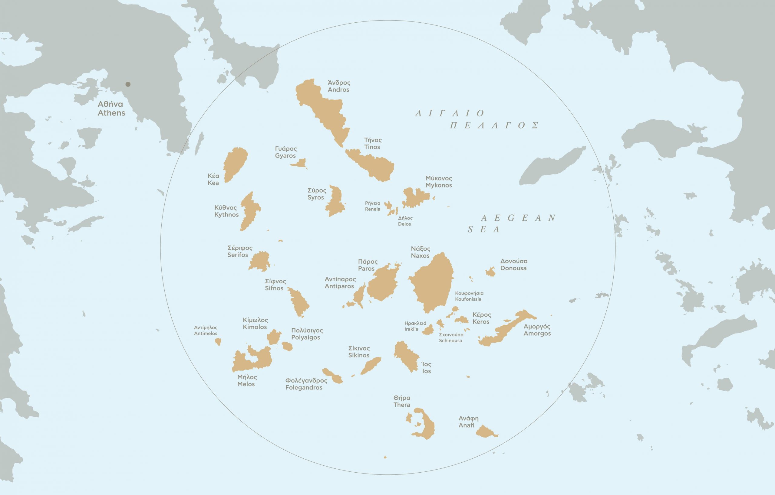
The Cyclades are a group of small islands in the south-central part of the Aegean Sea that form a virtual land bridge between mainland Greece and Asia Minor. Naxos, with an area of 428 square kilometers, is the largest island.
The name, Cyclades, was used by Herodotus, Thucydides, and several other ancient authors. According to Strabo, the Cyclades included the islands of Keos, Kythnos, Seriphos, Melos, Siphnos, Kimolos, Paros, Naxos, Syros, Mykonos, Tenos, and Andros – all of which formed a circle around the sacred island of Delos. Thera, Ios, Sikinos, Pholegandros, Amorgos, Anaphi, and some of the modern Dodecanese were included in the southern Sporades. We should remember, however, that the earliest recorded use of the term Cyclades dates to the 5th c. BC. Therefore, we cannot know what the inhabitants of the Cyclades in the 3rd millennium BC – who left no written evidence – named their islands.
GEOLOGY OF THE CYCLADES
Several of the islands, especially those located to the southwest of Attica and Euboea, are rich in crystalline rocks such as granite, gneiss, marble, and schist.
On the other hand, the southern islands (Melos, Kimolos, Thera), which are located along the arc of the southern Aegean volcanoes, are rich in volcanic rocks, such as andesite and obsidian. Other sources of mineral wealth include copper deposits on Kythnos and lead and silver deposits on Siphnos, both of which were extensively used and exhausted in antiquity.
ENVIRONMENT AND CLIMATE OF THE CYCLADES

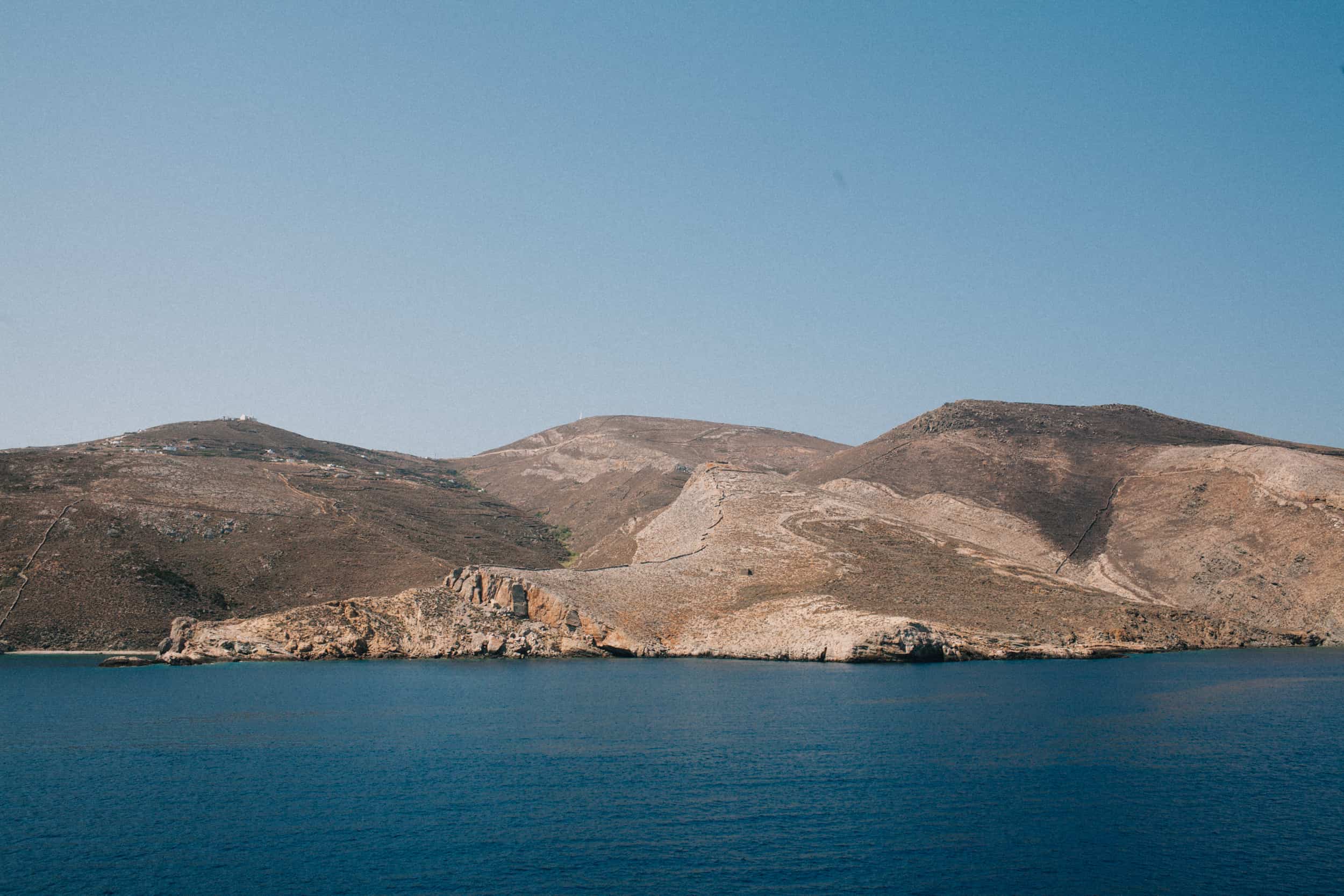
The Cyclades have limited access to water, a narrow range of flora and fauna, and little fertile land.
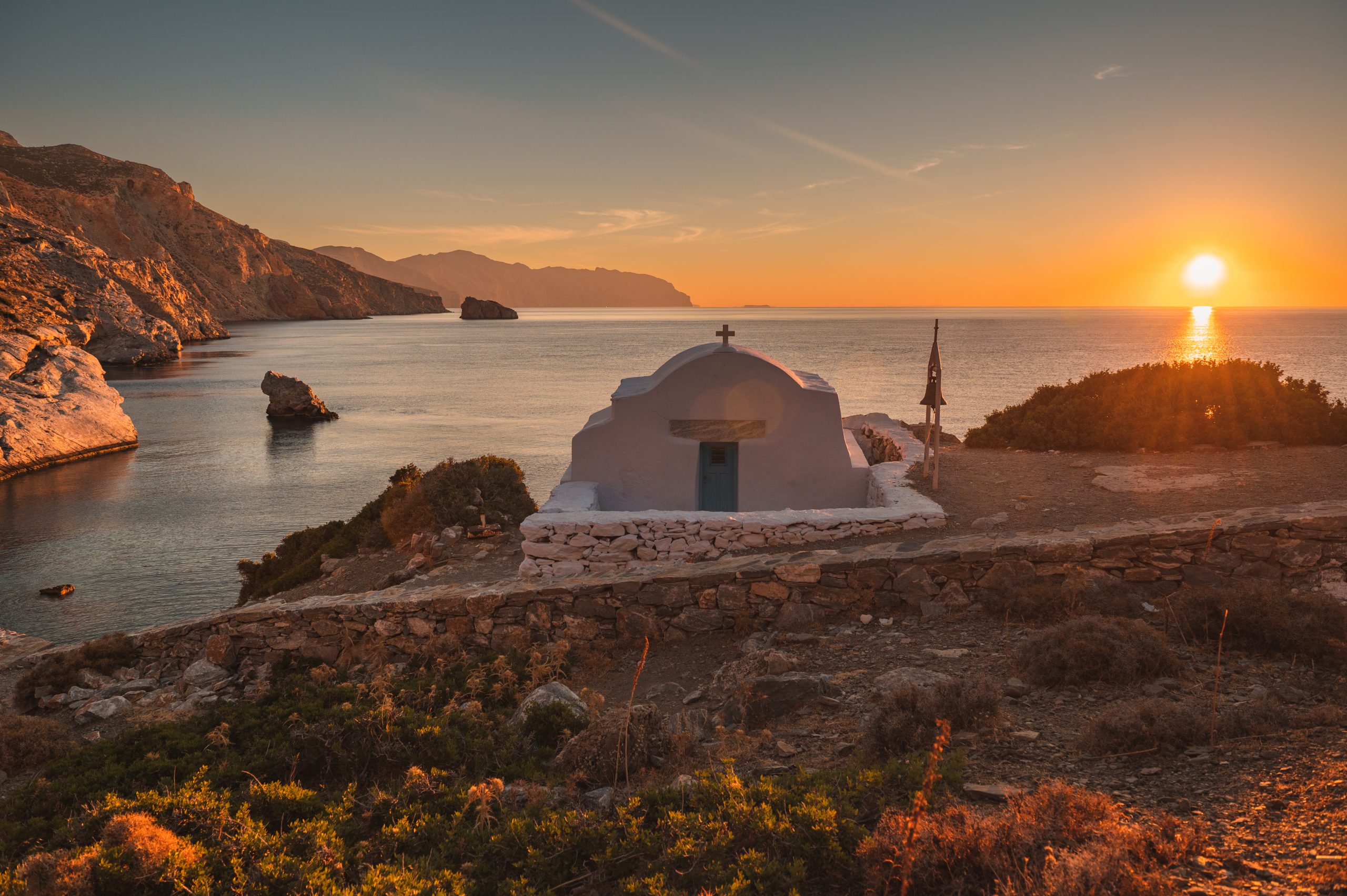
The climate is dry with long periods of sunshine and very little rainfall. However, there are strong winds present for most of the year – especially in the summer – which help regulate temperatures and favor coastal navigation.


